Chandra Jayasuriya, a Cartographer at the School of Geography, has been assisting with the preparation of detailed maps for a rural development project in the Flores and West Timor region of Indonesia – one of the least developed regions of Indonesia, where food insecurity and acute poverty are pervasive.
The project has been implemented by the Nusa Tenggara Association (NTA), an Australia based not-for-profit NGO committed to improving the livelihood of people in the Indonesian province of Nusa Tenggara. NTA has been operating for nearly three decades, collaborating with local NGOs and government agencies, to support projects identified by the locals as most important, through a community consensus process (‘musyawarah’).
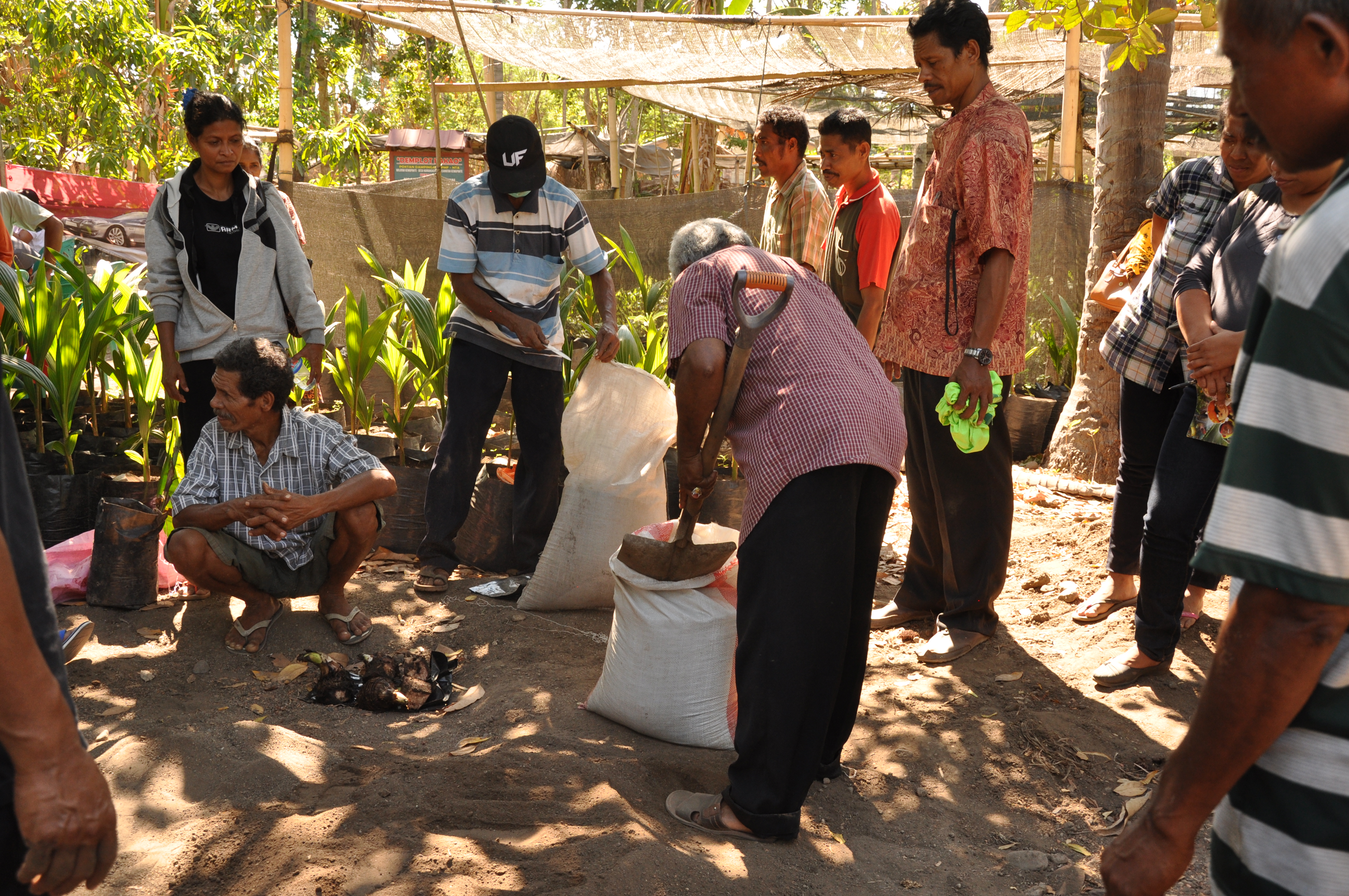
Around 150 to 200 activities are supported at any given time to enhance income in the area. Current projects include:
- the construction of off-roof rainwater tanks and wells
- fencing to control livestock
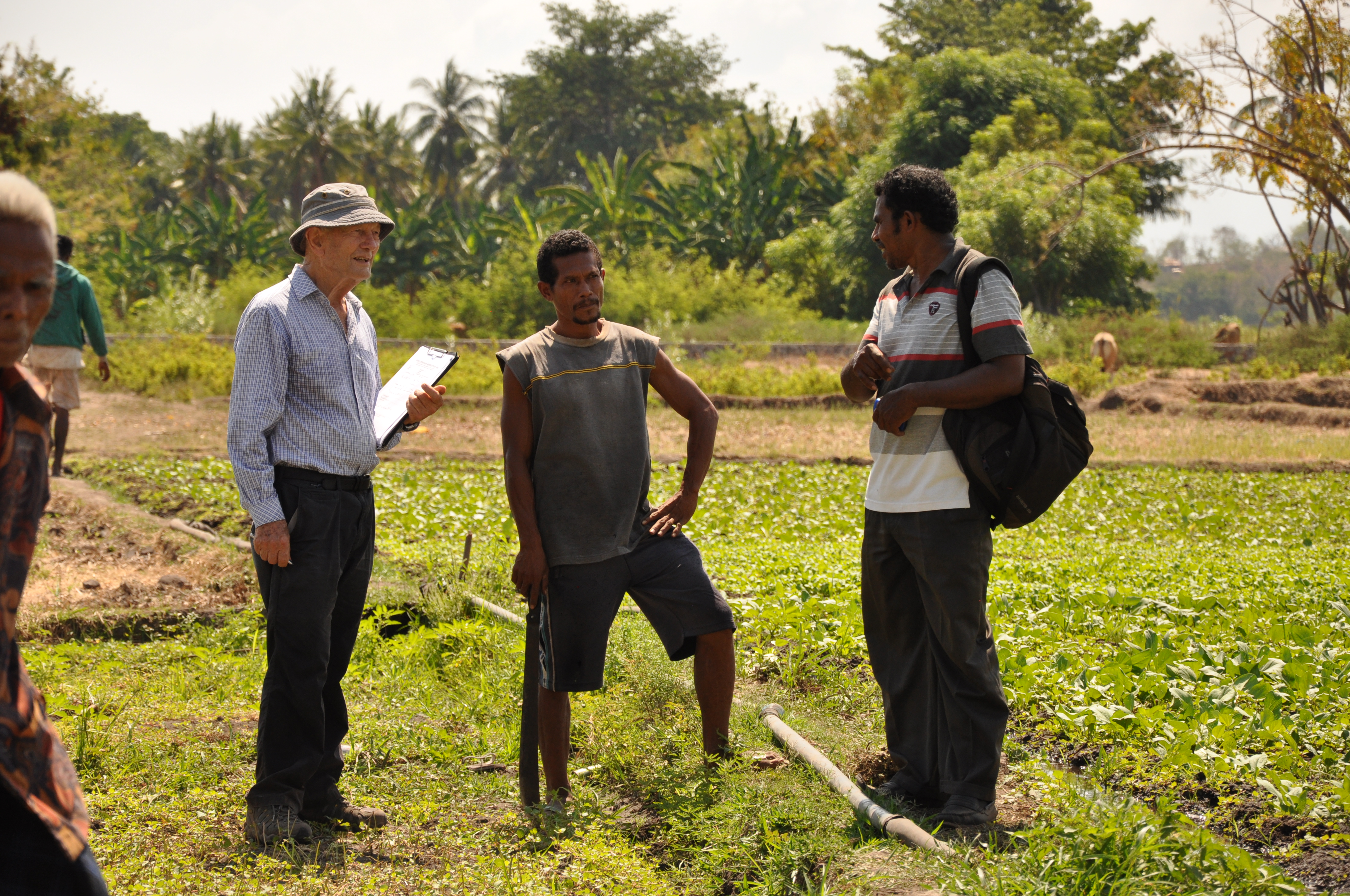
- the provision of agricultural technology and inputs
- assisting with the installation of household toilets
- weaving of the region’s unique ‘ikat’ scarves
- assistance to schools and their teachers, with books and training
- scholarships for the children of very poor families.
Over the years the NTA have become increasingly conscious of the need to have detailed maps of the areas they work in but do not have the resources to undertake a major mapping project. This was highlighted to Chandra by Colin Barlow, a development economist at the Australian National University and CEO of NTA, and so she volunteered to assist with the preparation of the required maps.
Colin Barlow says, "having good maps really helps the NTA's work of rural development, most especially in assisting visitors and potential donors in appreciating the areas we work in and the extent of our activities. Not having proper maps has been a major bugbear for us, and Chandra has at long last remedied that problem. We really admire the way in which Chandra insists on high accuracy in mapping, and because of this government officials are constantly requesting copies to help in their own activities. While she was with us Chandra kept going in the dry hot conditions, not relaxing until she was satisfied she had enough material to make her extraordinary maps."
Chandra made an initial two-week visit to the project area in late 2015, and has been spending much of her spare time creating detailed maps of the various localities interacting with NTA colleagues in Australia and Indonesia. When completed there will be a range of maps covering over 50 villages. You can view examples below.
Links:
More details about the NTA and opportunities for staff and students to participate in its activities can be found at nta.org.au.
For more information:
Contact: Ms Chandra Jayasuriya